
Every takeoff,
every arrival,
on one map.
Log each flight and the city you land in lights up. The routes you have flown, the places you have been, and a whole year of travel, all on one screen.
Free to download · No account required · Data stays on your device and in your iCloud

down to states and provinces
across China
scan, screenshot, import, manual
Every city you have visited,
lit up on the map.
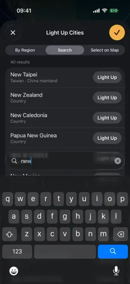
Select cities by state or province, or search by name. Switch between Lit and Fog views: lit cities are where you have been, the fog is where you might go next.
- Select a whole region at once and watch the map light up
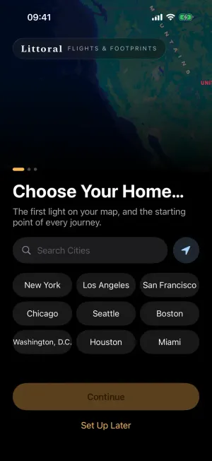
- Set your home city first and map your footprint in minutes
- Every prefecture in China; states and provinces worldwide
Every flight,
a line across the sky.
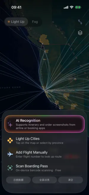
Scan a boarding pass, upload an airline or booking screenshot, or import an itinerary from Umetrip or OpenFlights. Destination cities light up as each flight is saved.
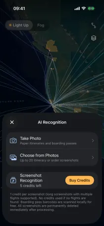
Add from Anywhere
Scan boarding passes, analyze booking screenshots, or import spreadsheets.
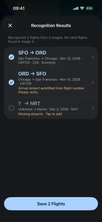
Review in One Place
Flight details are parsed and missing airports autofilled. Select and save in bulk.
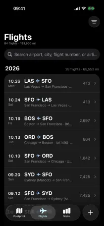
Organized by Year
A timeline grouped by year, with flights and distance for each.
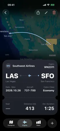
Relive the Journey
See the great-circle route, distance, flight time, and the cities it lit up.
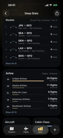
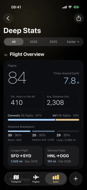
Every mile you have flown,
kept in numbers.
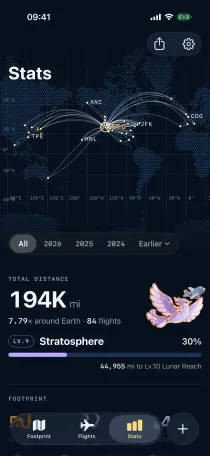
Total distance, trips around the Earth, and hours in the air. Favorite airlines, aircraft, and how often you travel each year. Scattered trips become a complete flight record.
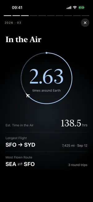
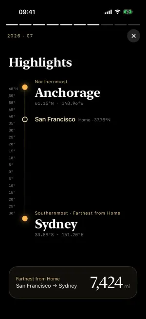
A year of journeys,
bound into one story.
Ten full-screen cards recap a year of flights and places. At the end, create a single long image to share with the people you traveled with.



From your first flight to the Moon.
The farther you fly, the higher your level. Ten enamel-style badges mark every step from your first boarding pass to the distance to the Moon. Free for everyone.









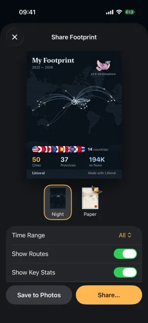
Your world,
on a single card.
Choose between the Night and Paper themes. Turn routes, key stats, and your home city on or off, then save a high-resolution poster or share it directly.
Your footprint is yours alone.
Local First, No Account
Flights and footprints are stored on your device and sync across devices with your personal iCloud. No sign-up needed for any local feature.
Online Only When You Allow
Only AI screenshot recognition and flight autofill go online, and only with your explicit consent. You can turn it off anytime in Settings.
Take Your Data Anywhere
Import and export are always free, in standard CSV and JSON. Your travel history is never locked behind a paywall.
Core features are free.
Pro is a one-time purchase.
Basic
- Lit and Fog maps at every level
- Unlimited cities and flights
- Basic flight stats and country progress
- Night theme share cards and free data export
Littoral Pro
- Deep Stats and Top 10 rankings
- Full Year in Review for every year, with share images
- All share themes and colors, no watermark
- Unlimited AI Autofill for missing airports
- 20 bonus AI recognition credits
AI Credits
- 1 credit per screenshot
- Up to 10 flights per screenshot
- 5 free credits for new users

On your next flight,
light up a new city.
Coming Soon to the App StoreRequires iOS 26 or later